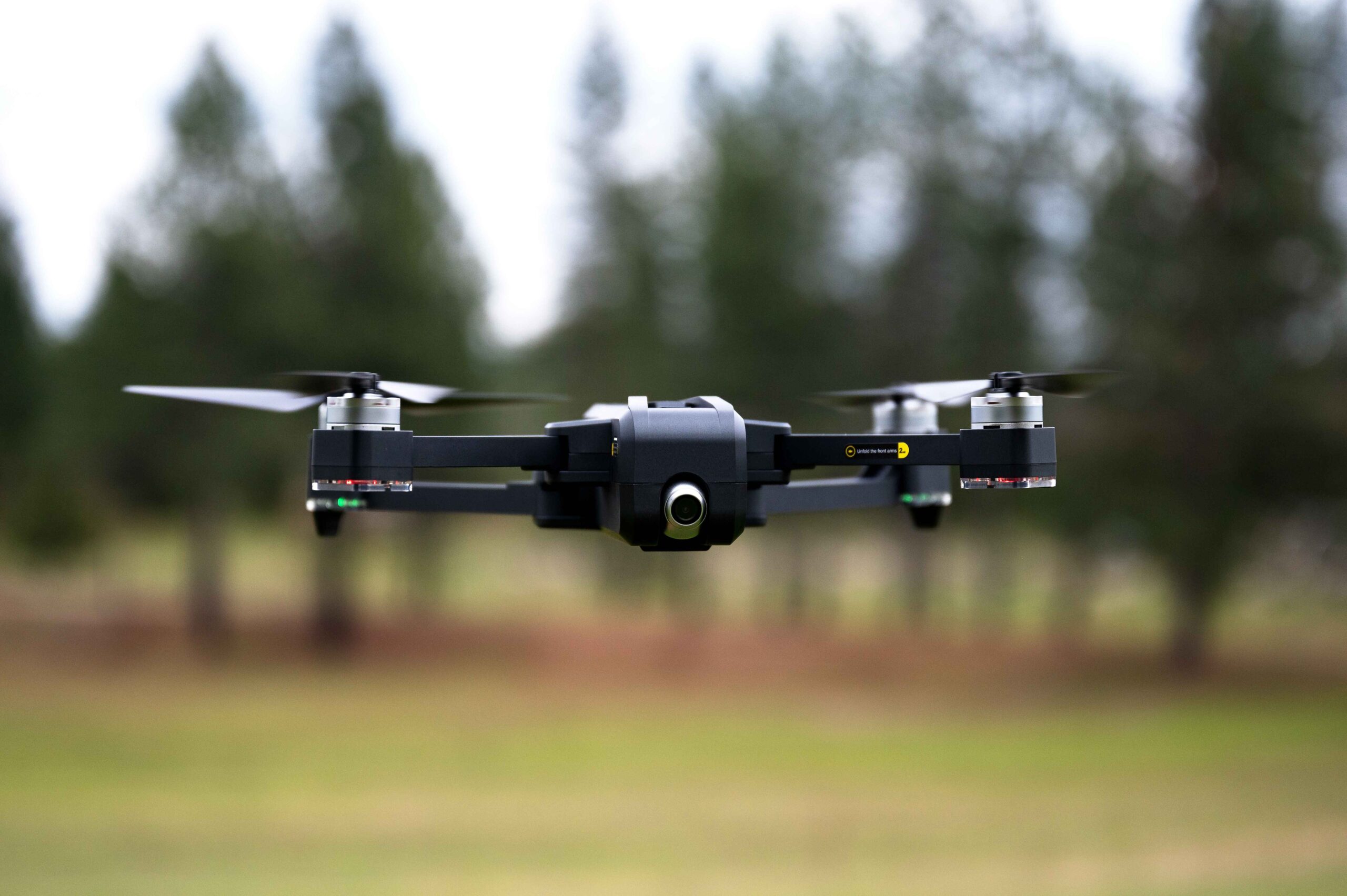
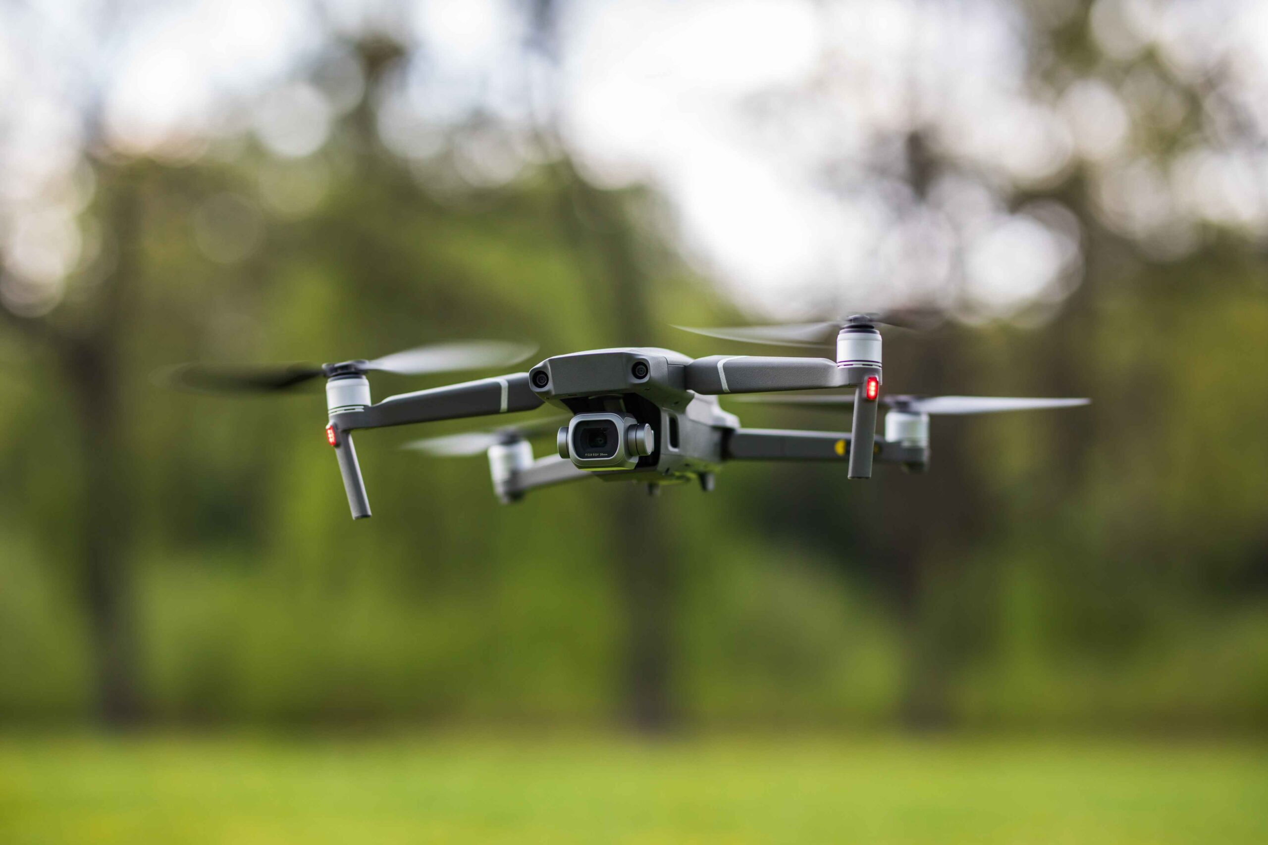
The construction industry is undergoing a technological revolution, and one of the most significant advancements in recent years has been the use of construction drones and drone mapping services for construction. These unmanned aerial vehicles (UAVs) are transforming how construction projects are monitored and managed.
Drones provide a new way to collect data, track progress, and enhance communication between teams, ultimately improving the efficiency and accuracy of project execution.
Streamlining Progress Tracking with Construction Drones
One of the most significant challenges in construction projects is staying on top of progress. In large-scale projects, it can be difficult for project managers and stakeholders to get a comprehensive view of how work is progressing on-site.
Traditionally, this involved labor-intensive methods such as manual inspections, site visits, and reports that could take days to compile and analyze. Construction drones and drone mapping services for construction provide an innovative solution to this problem by offering a quick, real-time aerial view of the project site.
Drones equipped with high-resolution cameras and GPS technology can capture detailed images and videos of the entire site from various angles. This allows construction teams to monitor the work being done, spot potential issues, and assess whether the project is on schedule.
The ability to track project progress remotely is invaluable, especially for large or complex projects that may have multiple teams working in different areas at the same time.
Real-Time Data Collection and Visualization
One of the main advantages of using a construction drone for progress monitoring is the speed and accuracy of data collection. Drones can fly over the construction site and capture high-resolution aerial images in a matter of minutes, something that would otherwise take hours or even days with traditional surveying methods.
These images can be processed using specialized software to create 3D models and detailed maps, offering a precise visual representation of the project’s progress.
For example, if a building is under construction, a drone can capture images of the site, and these images can be compared to the original plans or design blueprints. The software can then highlight any discrepancies, such as missed milestones or areas where work is falling behind.
This helps project managers quickly identify issues and make data-driven decisions to keep the project on track.
The ability to compare current images with past ones also helps teams assess the rate of progress. By measuring the amount of work completed over a set period, they can forecast future project timelines more accurately.
This predictive analysis helps in planning and can lead to more efficient project management.
Improved Communication and Collaboration
Construction projects often involve many different teams, from architects and engineers to contractors and subcontractors. Keeping everyone on the same page can be a logistical challenge, especially when team members are spread across a large site. Construction drones can help bridge this gap by providing a shared, real-time view of the site.
Project managers, stakeholders, and other team members can access aerial images and 3D models remotely, ensuring that everyone is working with the most up-to-date information.
This can improve communication, reduce misunderstandings, and increase collaboration between teams. With this shared visual data, teams can quickly identify problems, adjust strategies, and ensure that the project is progressing according to plan.
Additionally, drones can be equipped with thermal cameras or other specialized sensors that provide valuable insights beyond traditional imagery. For example, thermal imaging can be used to monitor building insulation, detect moisture leaks, or even assess the health of structural components.
These insights can be shared with the relevant teams in real time, allowing them to address issues before they escalate into costly problems.
Enhancing Accuracy and Reducing Errors
Traditional methods of tracking project progress, such as manual inspections or relying on workers’ reports, are prone to human error. People can overlook details, misinterpret data, or fail to communicate effectively. Construction drones, however, offer a much higher level of accuracy.
Because drones capture precise measurements, the data they provide is highly reliable. The 3D models and maps they generate are based on actual aerial footage, meaning that they reflect the true condition of the site. This level of accuracy is crucial for preventing mistakes that could delay the project or lead to costly rework.
For example, drones can be used to measure stockpiles of materials, ensuring that inventory levels are accurate. They can also track excavation progress, checking if the right amount of earth has been moved according to the project plan.
With these precise measurements, errors are less likely to go unnoticed, and teams can quickly make adjustments to keep the project moving forward.
Cost Savings and Time Efficiency
By using construction drones to monitor project progress, companies can save both time and money. Drones can cover large areas in a fraction of the time it would take a crew to perform manual inspections. This reduces the need for labor-intensive tasks and allows project managers to spend more time addressing critical issues rather than collecting data.
Additionally, because drones can identify potential problems early on, teams can address them before they lead to delays or cost overruns.
For example, if a construction drone detects that a portion of the project is behind schedule, the team can take corrective action immediately, preventing further delays that would otherwise result in higher costs.
Innovating Construction with The AirPeople
At The AirPeople, we specialize in using cutting-edge technology to enhance construction processes. Our expertise in construction drones and drone mapping services for construction allows us to provide efficient aerial surveying, real-time progress tracking, and accurate data collection.
We are dedicated to helping our clients achieve safer, faster, and more cost-effective construction projects.